
Live pictures from the GOES-19 weather satellite, received here at Kopernik Observatory by the GOES Satellite Receive system: the whole Earth, and a close-up of the region the satellite is watching most closely. Each channel below has a loop of the last 24 hours and the newest single picture; click either one to see it full size and zoom in. The page updates every three hours.
What you’re seeing behind this page
What the pictures tell us
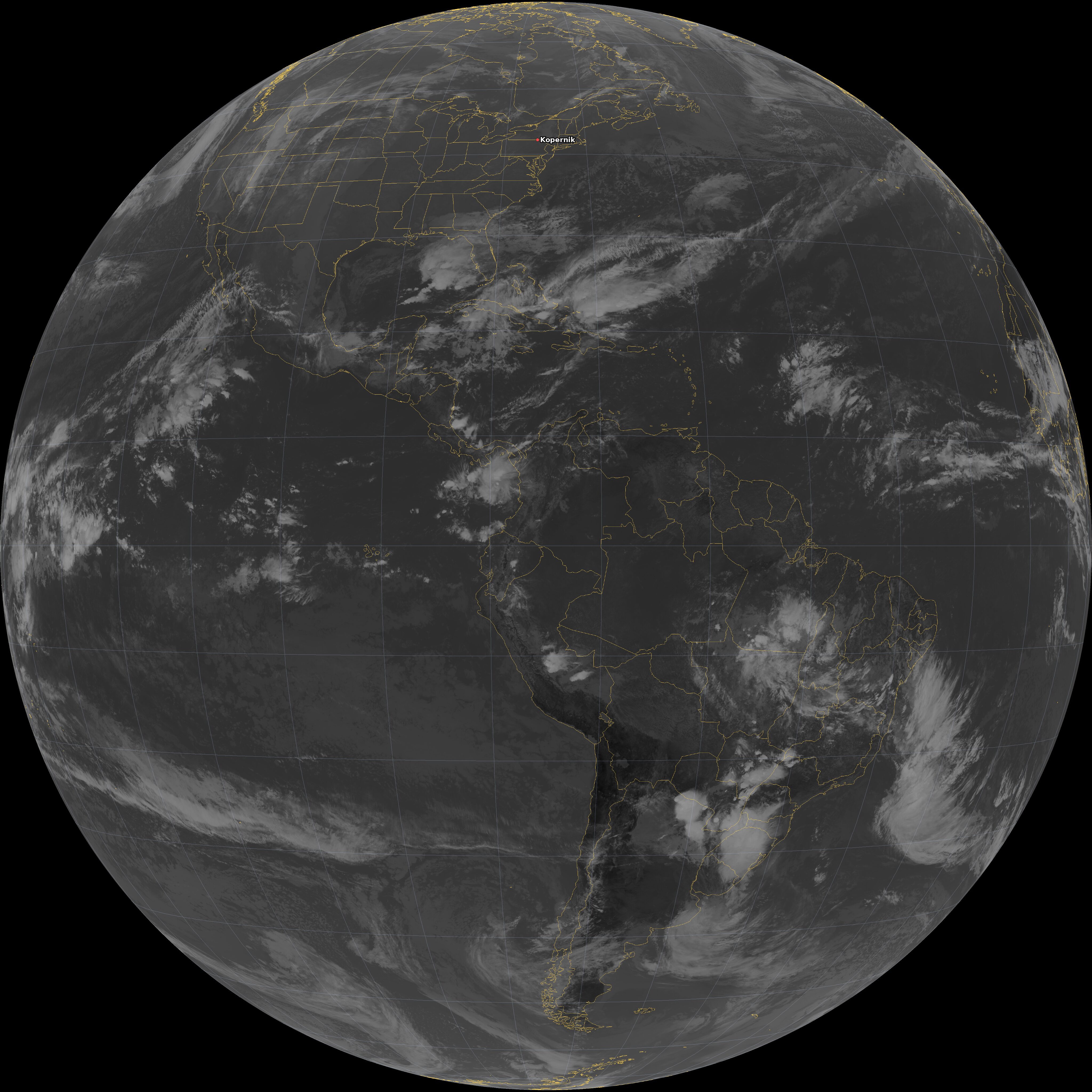
Read from the infrared picture of 10:00 AM Eastern, Nov 17 (15:00 UTC). Infrared measures temperature: of the ground, or of the top of a cloud, which is colder the higher it reaches. So the pictures show how high the clouds are, not just where.
- Over Kopernik now
- Clear, or only low cloud: the satellite sees down to 43 °F (6 °C).
- Kopernik's last 24 hours
- Under cloud for about 22 of the last 24 hours; clear since about 9 a.m. Eastern.
- Strongest storm in view
- The coldest cloud tops in view are −108 °F (−78 °C) over the eastern Pacific (4°N 145°W): very strong thunderstorms, reaching the top of the weather layer.
- Cloud over the Earth
- About 9% of the Earth GOES-19 sees is under high, cold cloud (colder than −22 °F (−30 °C)).
- Moisture aloft
- Some moisture 3 to 5 miles (5 to 8 km) above Kopernik (−25 °F (−32 °C) in the water vapor channel).
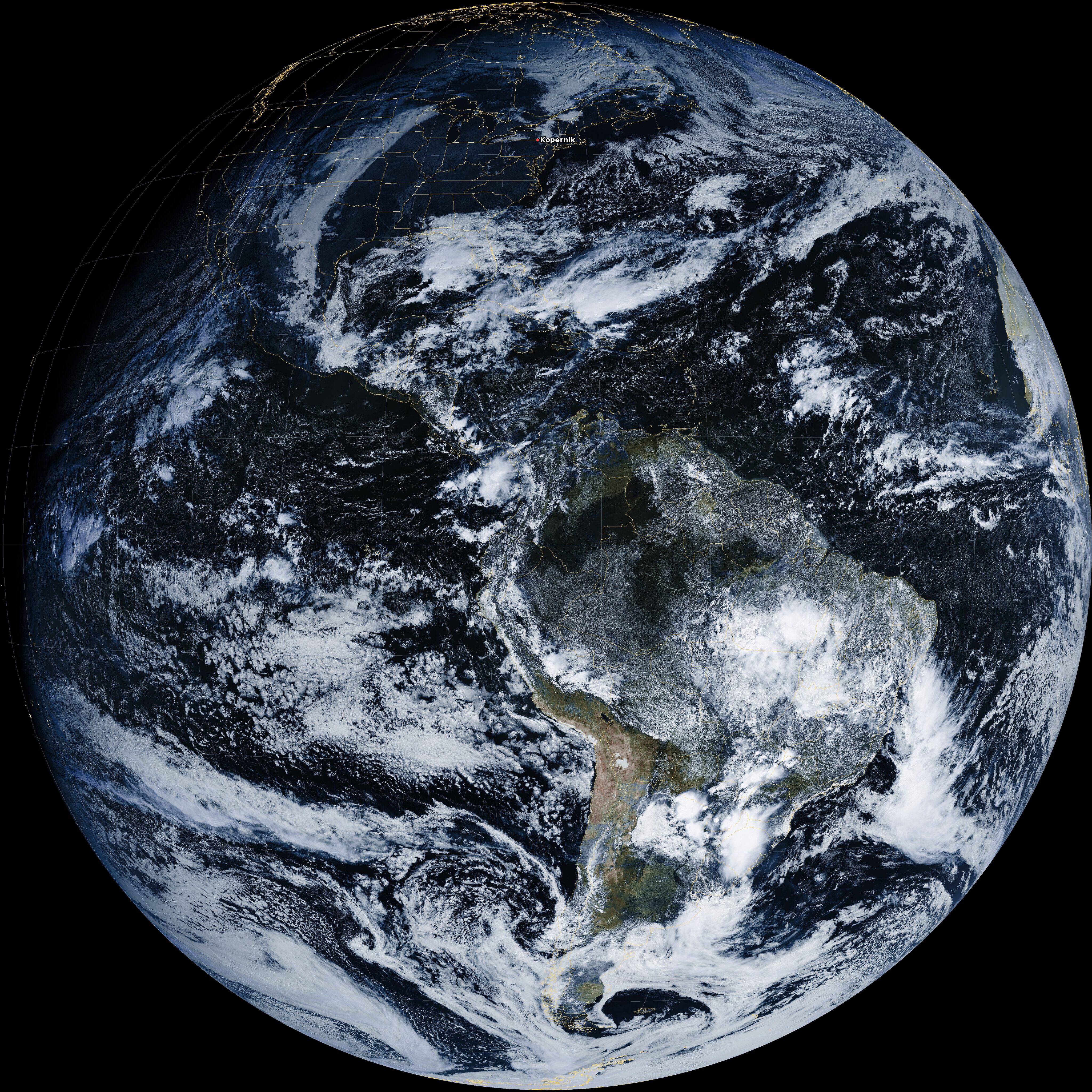
False Color (ch02 + ch13)
A natural-looking view of the whole Earth: visible light from channel 2 colored with infrared from channel 13. The night side goes dark.
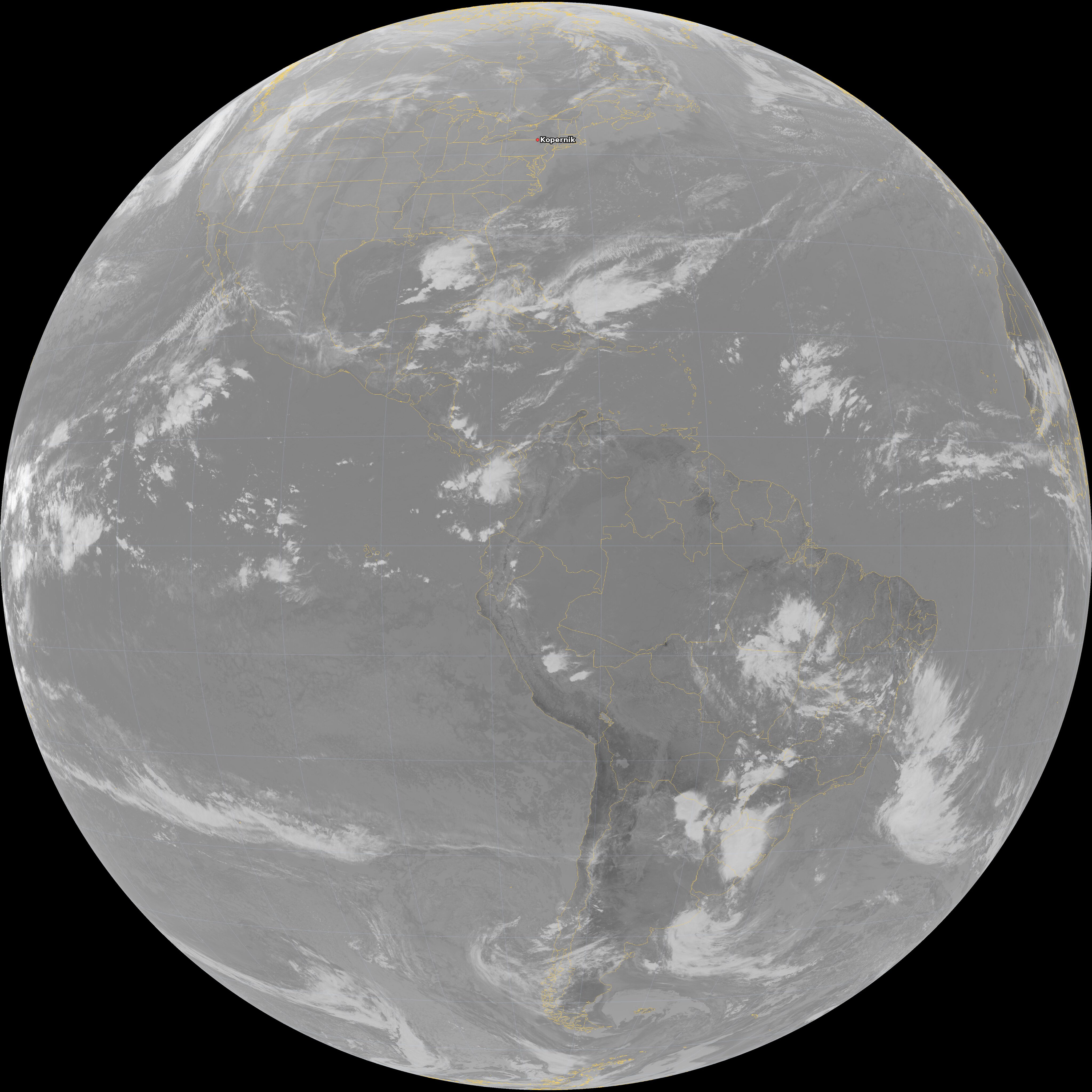
Shortwave Infrared (ch07)
Shortwave infrared at 3.9 µm. Picks out fires, hot spots and low fog, day and night.
Clean Infrared (ch13)
Clean infrared at 10.3 µm. Shows cloud tops and storms day and night; the colder and higher the cloud, the brighter it looks.
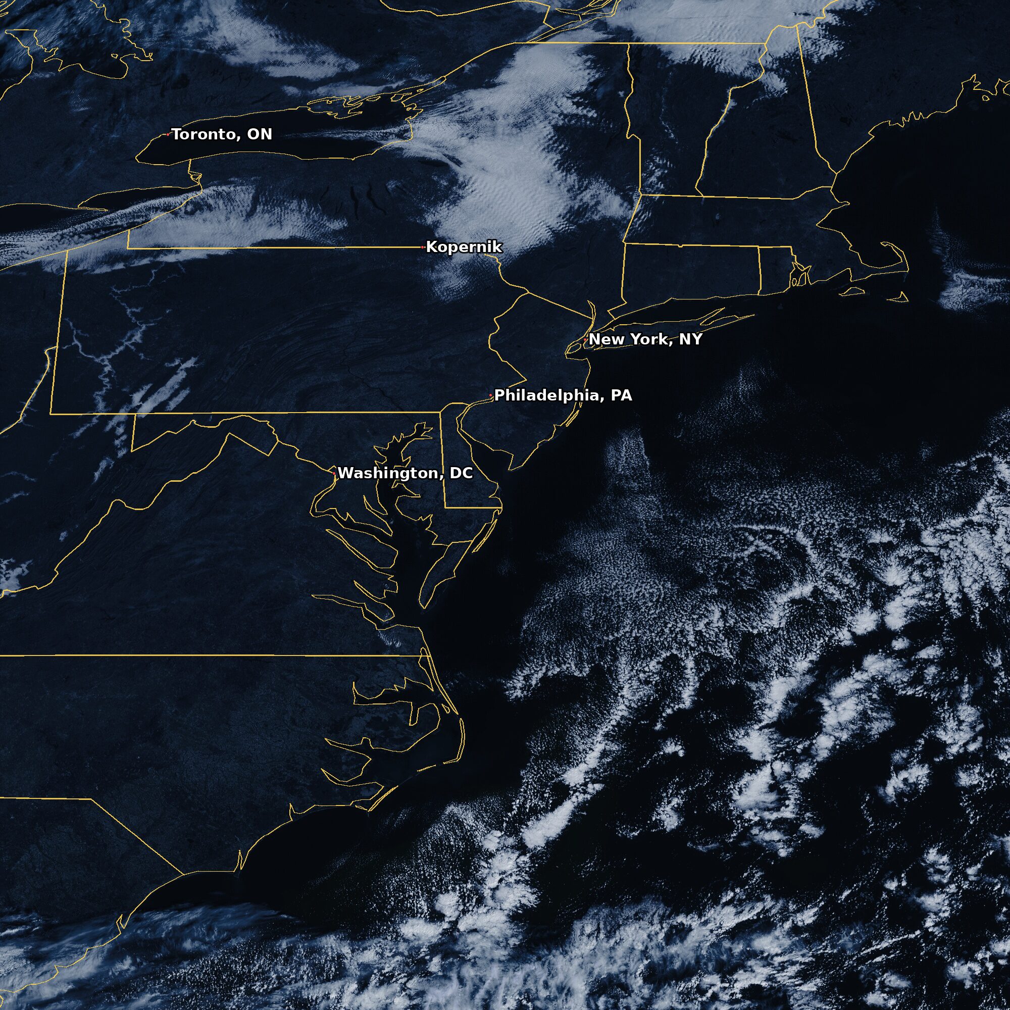
Mesoscale False Color (M1)
A close-up of the region the satellite is watching most closely, often a storm, in the same false color as the full disk. The sector moves with the weather. It is built from visible light, so the loop keeps only the daylight frames. Today’s close-up is near New York, NY.
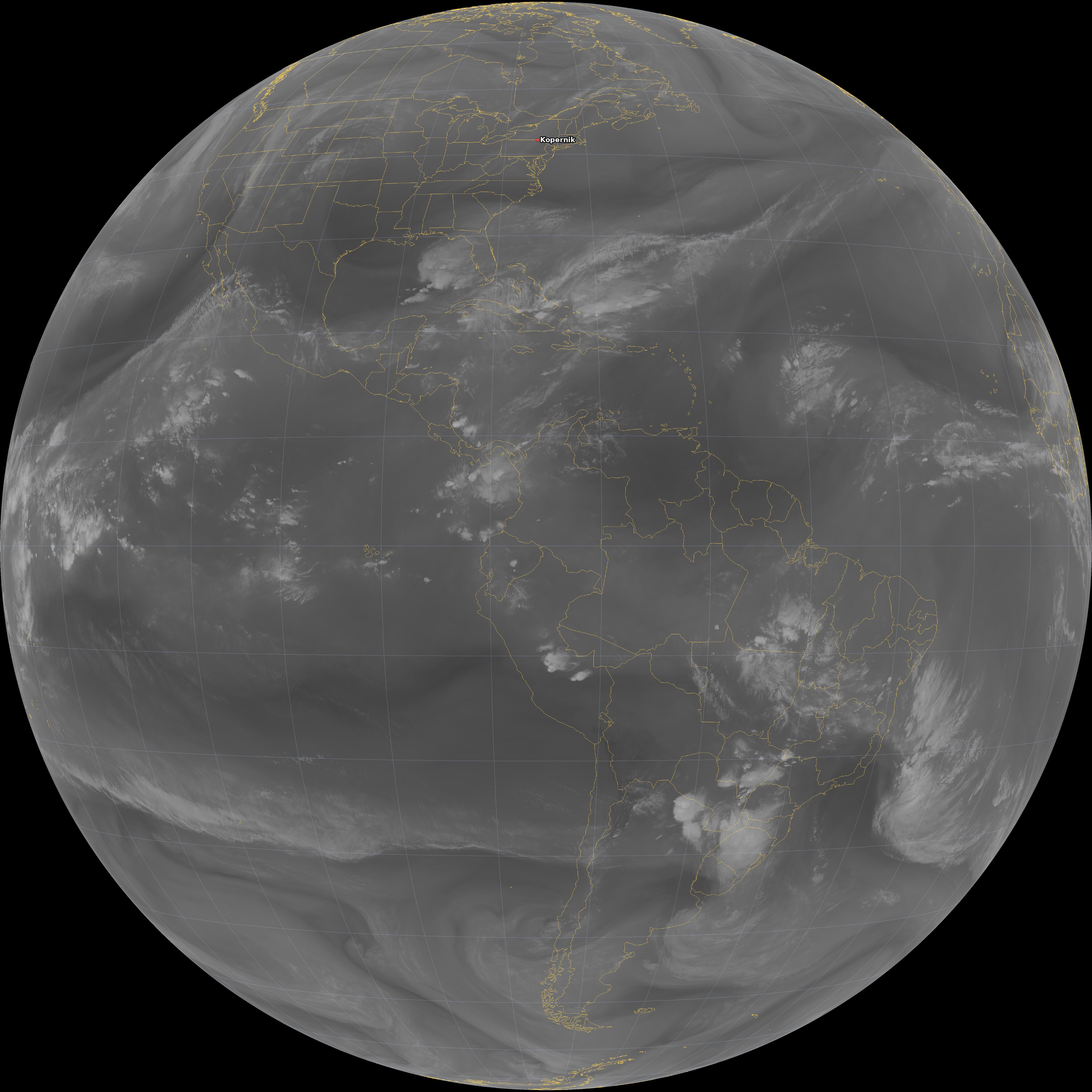
Water Vapor (ch09)
Mid-level water vapor at 6.9 µm: the moist and the dry air about 3 to 4.5 miles (5 to 7 km) up, where the jet stream steers the weather. Bright is moist, dark is dry.
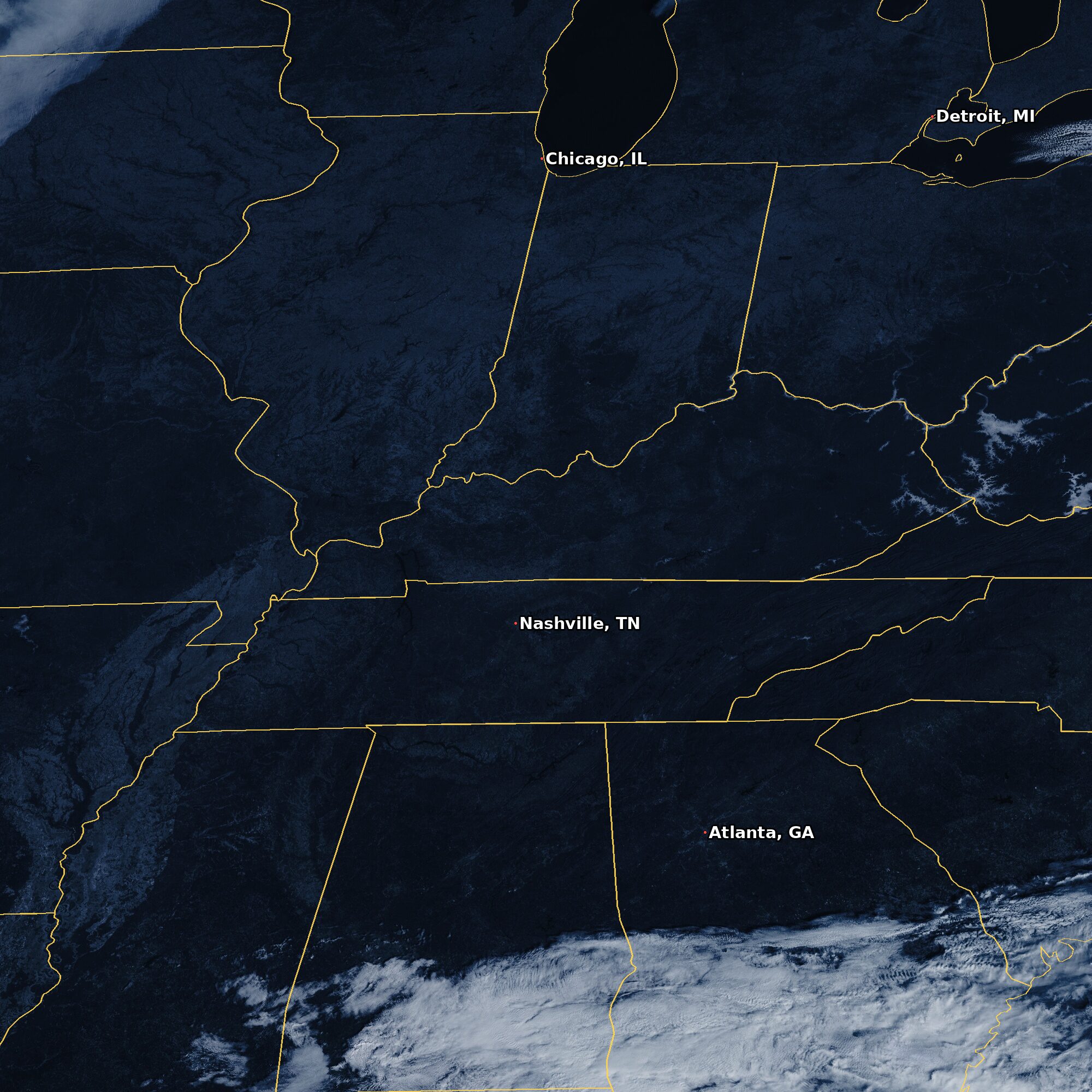
Mesoscale False Color (M2)
The satellite’s second close-up, often a different storm from M1, in the same false color. It moves with the weather, and the loop keeps only the daylight frames. Today’s close-up is near Chicago, IL.
Timelapses: Clean Infrared (ch13)
The weather over the last week, one picture an hour, and over the last month, one every three hours. Drag the slider to stop on any hour.